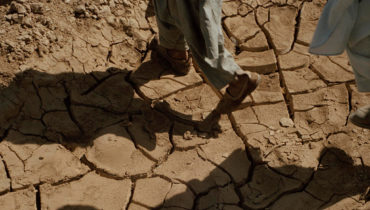
Since March 2012, political instability and internal armed conflict have aggravated Mali’s precarious humanitarian situation, characterised by mass displacement, latent food insecurity and malnutrition, coupled with unpredictable weather conditions and economic instability.
Within the framework of its partnership with the Global Shelter Cluster, IMPACT deployed a REACH team to Mali in November 2012 to provide shelter assessments and information management support to the active Clusters in the country. The objectives of the deployment were to understand and map displacement trends and assess the needs of internally displaced people.
Furthermore, REACH participated in the mapping of basic services in north Mali designed to facilitate decision-making by inter-sectorial and sectorial coordination bodies. Later in 2013, REACH was deployed on behalf of the Shelter Cluster to launch a rapid needs assessment in Timbuktu and Gao regions. The same year, REACH also conducted a floods analysis assessment using data from 2006 to 2013. The analysis succeeded in producing maps showing the frequency and impact of floods in different regions of Mali and providing valuable data for prevention and risk mitigation activities. The maps were used by the humanitarian community and the Government of Mali as a baseline to inform the flood contingency plan for 2014. One of the last information products produced by REACH was a WASH baseline report focusing on access to water for affected communities in Kidal, Timbuktu and Gao.
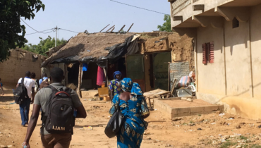
In 2019 REACH started working again in Mali providing information for humanitarian and aid actors on the situation in the central and northern parts of the country.