
This week, REACH is at a Science festival in London to present a new project which explores the role of crowd-sourcing in an emergency response. The Geotag-X Project, developed with the United Nations Institute of Training and Research (UNITAR), allows volunteers to answer simple questions about photographs from a humanitarian emergency, and collectively analyse large quantities of data.
Part of Citizen Cyberlab, a research project funded by the European Union, Geotag-X is one of several pilots developed to study creativity and learning in on-line citizen science. The project examines how volunteers can work with the large volumes of data produced in a crisis, and to what extent their ability to identify, categorise and extract relevant data could be a useful tool in humanitarian operations.
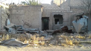
REACH and UNITAR worked together to create the flagship project Are Shelters Prepared for Winter? which teaches volunteers to assess whether emergency shelters meet minimum criteria to protect their inhabitants against climatic extremes. Based on a series of recent photographs taken by REACH data collection teams in Iraq and Jordan, the app includes observation questions based on standard indicators developed by REACH and the Global Shelter Cluster.
While the Winter Shelter pilot allows volunteers to learn about needs assessment in a humanitarian response and to better understand conditions for the thousands of people currently living in displacement sites in these areas, other Geotag-X pilots examine a wide range of issues, including drought, climate change and pollution.
Anyone can participate in Geotag-X and our volunteers add real value to the project through testing applications, analysing photographs and providing feedback. Try it out here: Winter Shelter Assessment on Geotag-X