


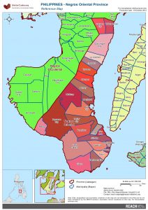
PHL - Negros Oriental Province Reference Map
PDF685.6K
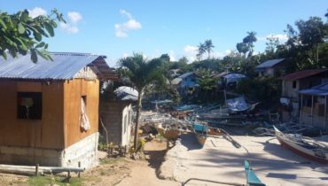
IMPACT was deployed to the Philippines through its initiative REACH following four separate disasters starting in 2012. The first deployment followed the tropical storm Sendong, the second typhoon Bopha, the third Bohol earthquake and the fourth typhoon Haiyan. Each deployment was conducted in support of cluster response planning, coordination and monitoring, including with the Shelter Cluster, the Camp Coordination and Camp Management Cluster, and the WASH Cluster.
By 2050 over 70% of the global population will live in urban areas.
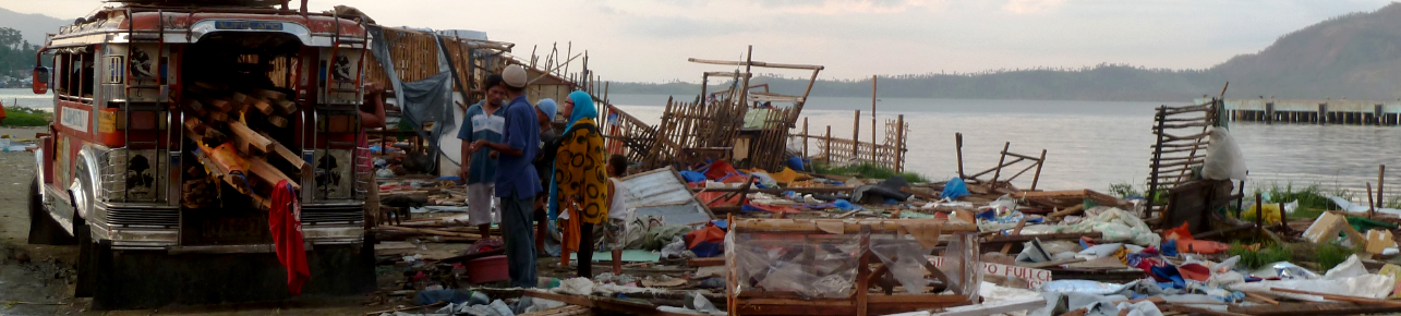
When Typhoon Haiyan, locally known as Yolanda, reached the Eastern Visayas region of the Philippines on 8 November 2013, it was the strongest typhoon ever recorded to make landfall and...
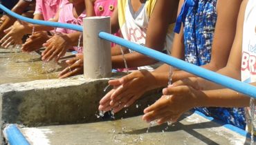
One year after Typhoon Haiyan and as the situation has stabilised, REACH conducted a large-scale study to contribute to the development of best practices for sustainable change in sanitation and...
PHL - Negros Oriental Province Reference Map
PDF685.6K
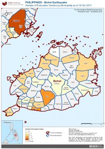
PHL_Map_Bohol_EvacCenter_20oct2013_A3
PDF632.0K
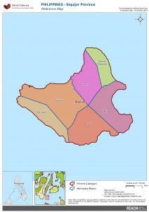
PHL - Siquijor Province Reference Map
PDF379.2K
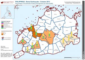
PHL_Map_BOHOL_SleepOut_13NOV2013_A4
PDF505.7K
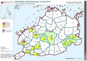
PHL_Map_BOHOL_HouseDamage_13NOV2013_A4
PDF502.7K
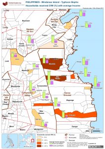
PHL_Map_Bopha_CFW_IncomeAvg_A3_15MAR2013
PDF530.8K
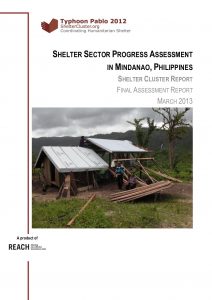
Shelter Sector Progress Evaluation in Mindanao - March 2013
PDF3.9M
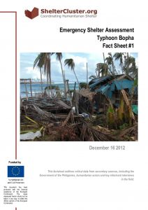
Emergency Shelter Assessment Fact Sheet 1
PDF498.8K
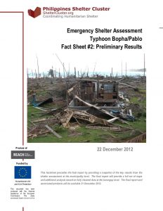
Emergency Shelter Assessment Preliminary Results Fact Sheet 2
PDF2.0M
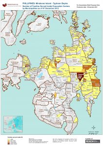
PHL_Map_Bopha_PopEC_A3_08Dec2012
PDF1.5M
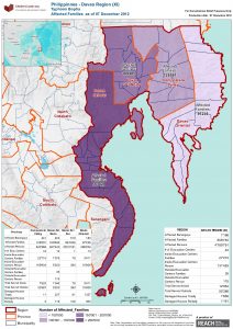
PHL_Map_Bopha_Affected_A3_07Dec2012
PDF914.8K
Shelter Cluster Final Assessment Report - December 2012
PDF2.4M
Rapid Shelter Assessment Report after tropical storm Washi
PDF3.3M
Shelter Assessment Washi - Fact Sheet 2
PDF471.5K
Rapid Shelter Assessment Initial Report after tropical storm Washi
PDF2.2M
Shelter Assessment Washi - Fact Sheet 1
PDF594.4K