


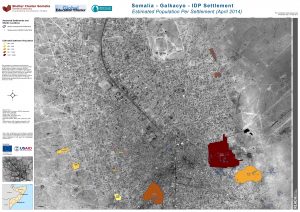
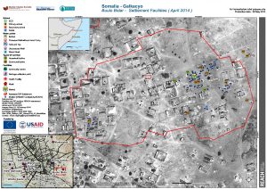
SOM_Map_Estimated Population of Galkacyo IDP Settlements_April 2014_A0
PDF10.5M
Somalia faces a protracted humanitarian crisis driven by conflict, recurrent climate shocks, and disease outbreaks. The failure of successive rainy seasons significantly reduced access to water, food, and livelihood opportunities, and prompted a national drought emergency declaration in November 2025. Meanwhile, sustained high levels of conflict across Somalia throughout 2025 continued to drive displacement and constrain humanitarian access, compounding vulnerabilities and limiting service delivery. These overlapping shocks eroded household coping capacity and increased vulnerability among newly displaced and affected populations.
IMPACT began working in Somalia in 2012 through its initiative REACH to inform emergency prioritization through technical support and evidence generation. In 2026, REACH continues to provide analysis and multisectoral data at the national and sub-national level (with an emphasis on Area Based Coordination) and runs the Multi Sectoral Needs Assessment.
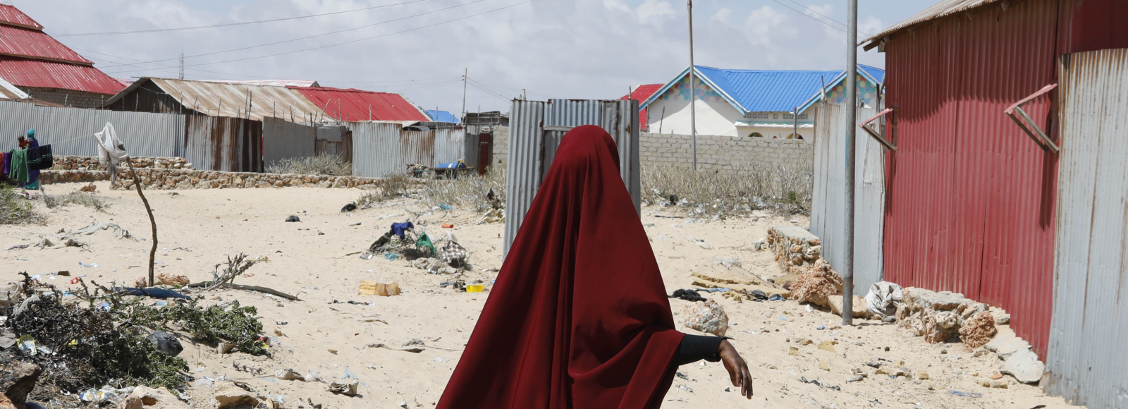
(Picture: UNHCR / Feisal Omar)
| Humanitarian Situation Monitoring: Key Findings From Hard-to-Reach Areas January 2026
| 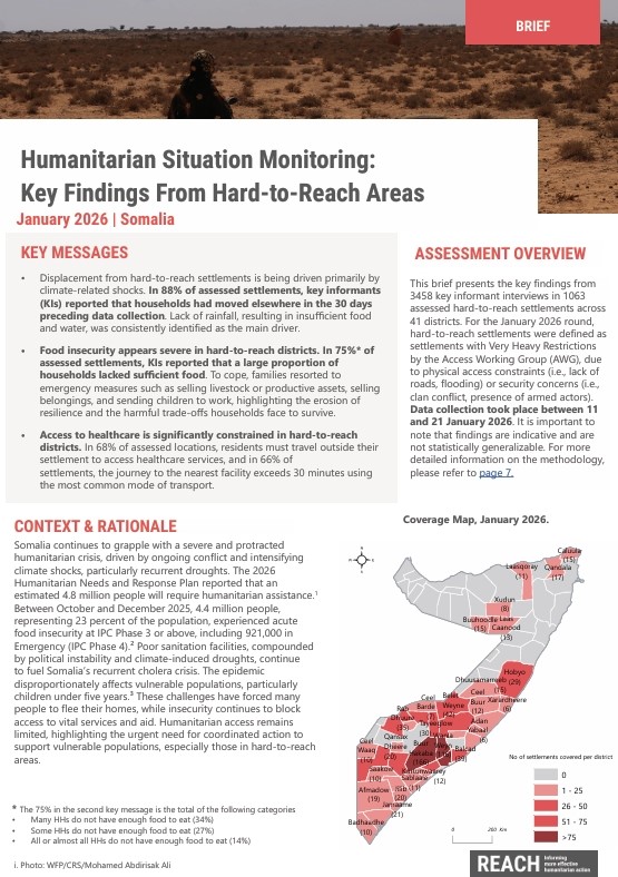 |
| Multi-Sectoral Needs Assessment (MSNA): IDPs and Affected Communities October 2025 Throughout 2025, Somalia continued to face significant levels of displacement and restricted humanitarian access, which constrained the delivery of essential services and weakened the coping capacity of displaced households. Many households reported inadequate access to food and safe drinking water, while prolonged drought conditions and ongoing conflict continued to intensify humanitarian vulnerabilities. |  | |
| Acute Needs Analysis 2025 July – Dec 2025 The ANA is a humanitarian research pilot project designed to identify populations facing urgent, life-threatening needs. It seeks to bring these populations to the attention of humanitarian decision-makers—especially in contexts where information is scarce or fragmented. All analysis is conducted by dedicated, country‑based analysts with deep contextual expertise, ensuring robust support for humanitarian prioritization across and within crises. | 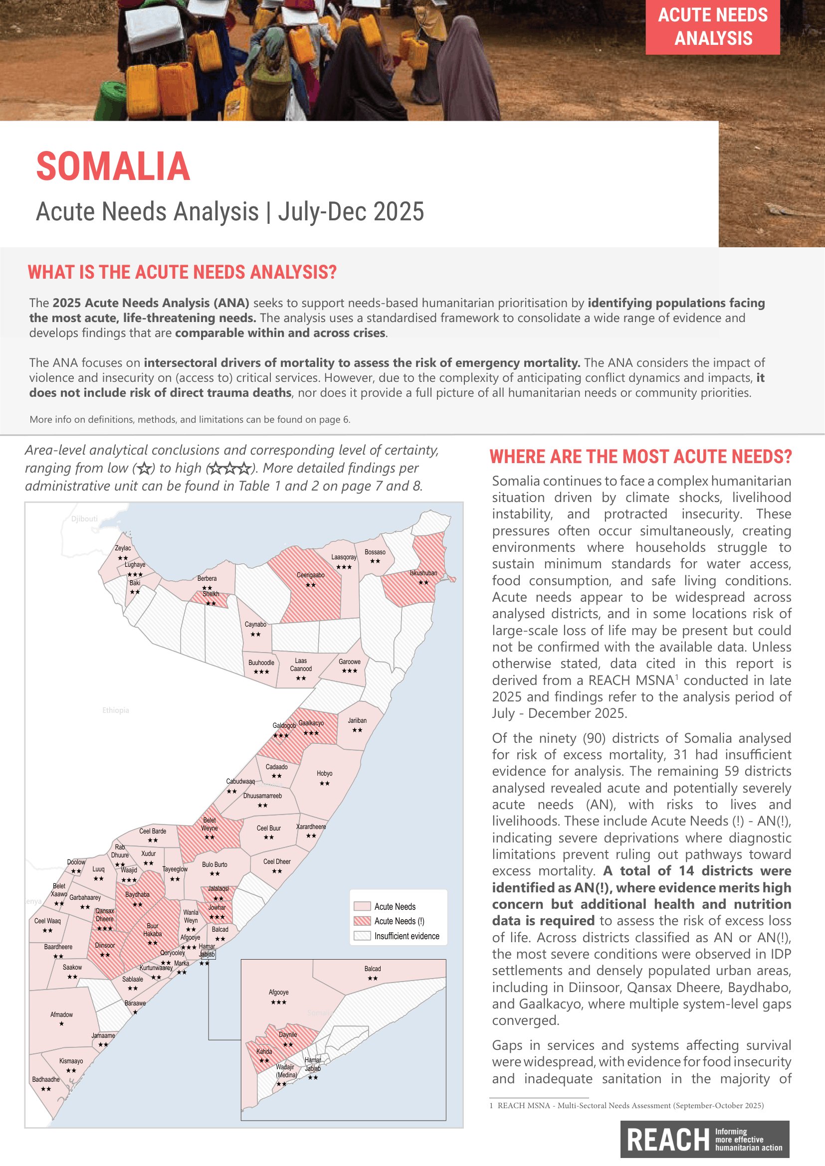 |
Somalia is facing a prolonged displacement crisis, driven by recurring conflict, climate shocks, and persistent gaps in essential services, land security, and sustainable livelihoods. In Baidoa, the capital of the...

Somalia is grappling with extreme climate conditions that have severely impacted communities across the country. IMPACT’s latest report via its initiative REACH, provides an in-depth look at how these climate...
The latest Integrated Public Health Rapid Assessment (IPHRA) report by IMPACT Initiatives highlights the severe public health challenges faced by internally displaced persons (IDPs) in Galkacyo, Somalia. This overview underscores...
SOM_Map_Estimated Population of Galkacyo IDP Settlements_April 2014_A0
PDF10.5M
SOM_Map_Galkayo_Buulo Bidar IDP Settlement_05may2014_A3
PDF1.3M
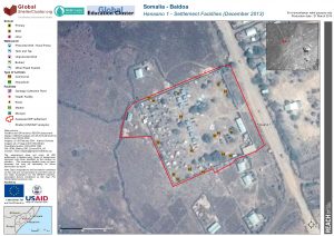
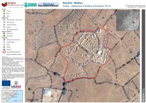
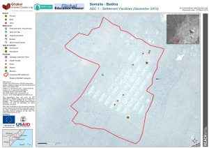
SOM_Map_Baidoa_Hanaano1Settlement_21MAR2014_A3
PDF514.9K
SOM_Map_Baidoa_Infras_IDP_21mars2014_A0L
PDF5.2M
SOM_Map_Baidoa_Wadajir3Settlement_21MAR2014_A3
PDF491.5K
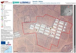
SOM_Map_Baidoa_Hanaano2Settlement_21MAR2014_A3
PDF640.8K
SOM_Map_Baidoa_TowfiqSettlement_21MAR2014_A3
PDF512.1K
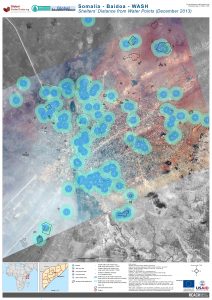
SOM_Map_Baidoa_WASH_Distance_21mars2014_A0_v1
PDF5.5M
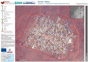
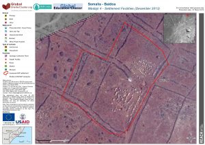
SOM_Map_Baidoa_Hanaano3Settlement_21MAR2014_A3
PDF540.4K
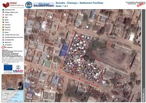
SOM_Map_Kismayo_BaraaweMaalimMadeyHashiExAlaminHamdi2_3Tawakal 1IDP_12Mar2014_A3
PDF435.0K
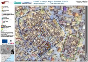
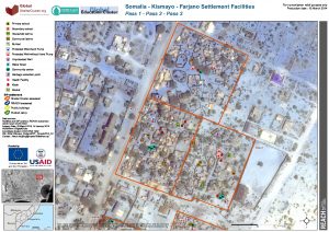
SOM_Map_Kismayo_FarjanoIDP3_12Mar2014_A3
PDF813.3K
SOM_Map_Baidoa_Infras2_IDP_21mars2014_A0L
PDF5.0M
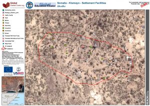
SOM_Map_Kismayo_DhudhuIDP_12Mar2014_A3
PDF470.1K
SOM_Map_Kismayo_FarjanoIDP7_12Mar2014_A3
PDF740.0K
SOM_Map_Baidoa_ADC1Settlement_21MAR2014_A3
PDF500.8K
SOM_Map_Baidoa_Wadajir4Settlement_21MAR2014_A3
PDF545.8K