Voices from the Field : Featured Report
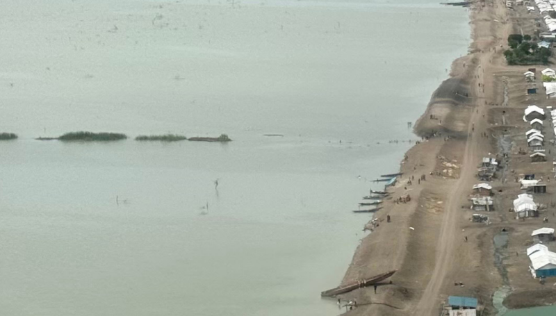
South Sudan : Following disasters or in complex emergencies, a lack of data on affected population and needs often hinders effective humanitarian response. In the latest issue of the ODI’s “Humanitarian Exchange” magazine, REACH Assessment Specialist Clay Westrope and ACTED South Sudan Country Director Emilie Poisson outline how REACH has helped address information gaps in the South Sudan refugee crisis.
In the protracted refugee crisis in South Sudan, REACH has partnered with UNHCR to conduct assessments and consolidate information related to the humanitarian response by various humanitarian actors in a shared database. REACH also provided analytical tools through the regular production and update of static and interactive web maps. By combining UNHCR household identifiers with data from other humanitarian agencies, REACH has been able to form a better picture of the situation and needs of those fleeing their homes, enabling better aid planning, coordination and traceability. Through the shared database and interactive maps aid organizations were then able to customize the information for their own purposes. Among the examples of responses informed by REACH are freshwater tap coverage and a cholera vaccination campaign in Jamam camp.
To read the full article in “Humanitarian Exchange 57: South Sudan at a Crossroads”, click here.
To learn more about REACH’s work in South Sudan, please visit our country page.