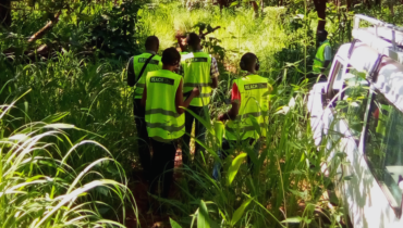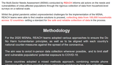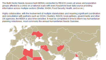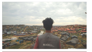

Rising to the challenge of surveying over 100,000 crisis-affected households amid a global pandemic
In 2020, switching to remote data collection processes, REACH teams around the world were able to survey the needs of over 100,000 households as part of the flagship Multi-Sector Needs Assessments designed to shape more informed and targeted aid- setting a standard for the safe collection of data in the process.