



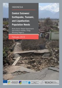
IDN_Factsheet_MSNA_Sub District Parigi Moutong Regency_February 2019_EN
PDF1.8M
 |
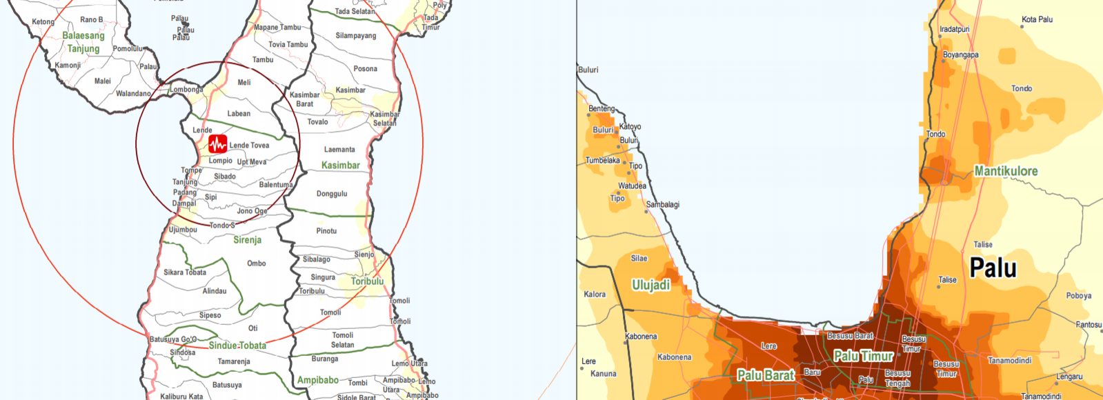
On the 28th of September, a series of earthquakes struck central Sulawesi province, the strongest a 7.4 magnitude earthquake with an epicentre only 10 kilometres deep. The earthquake triggered a tsunami that hit the provincial capital Palu and the coastal city of Donggala with waves up to six meters high. The earthquake, tsunami, aftershocks and resulting liquefaction and landslides caused significant damage, loss of life and challenges for the delivery of aid in the worst affected areas.
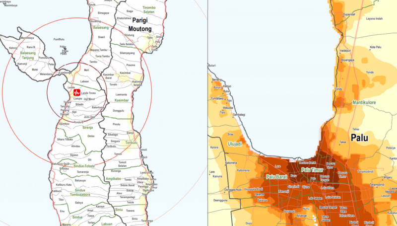
Since the onset of the disaster, IMPACT, through its humanitarian data initiative REACH, supported the Government of Indonesia and the PP Cluster by assessing the scale of the damage through remote sensing. With the aid of satellite images, the collaboration resulted in a series of maps identifying, for example, damaged buildings, displacement sites and locations of liquefaction and landslides. The rapid deployment soon developed to a humanitarian needs and shelter assessment of disaster-affected areas.
Since the onset of the disaster caused by the tsunami, REACH has supported the Government of Indonesia and the PP Cluster by assessing the scale of the damage through remote...
Global temperatures are rising, and they are doing so at an increasing pace. According to UNEP’s recent Limiting Overshoot report, global warming may reach 1.5°C above pre-industrial levels around the end of...
Our 2025 Annual Report is now published! For millions of crisis-affected people, 2025 brought deeper vulnerability and growing humanitarian needs, while funding cuts and political pressures placed unprecedented strain on...
IDN_Factsheet_MSNA_Sub District Parigi Moutong Regency_February 2019_EN
PDF1.8M

IDN_Report_MSNA_Central Sulawesi_February 2019_EN
PDF1.5M
IDN_Factsheet_MSNA_Sub District Parigi Moutong Regency_February 2019_ID
PDF1.7M

IDN_Report_MSNA_Central Sulawesi_February 2019_ID
PDF1.4M
IDN_Factsheet_MSNA_Sub District Sigi Regency_February 2019_EN
PDF4.3M
IDN_Factsheet_MSNA_HH_Displacement Status_Central Sulawesi_February 2019_EN
PDF1.4M
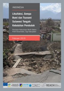
IDN_Factsheet_MSNA_Sub District Sigi Regency_February 2019_ID
PDF4.1M
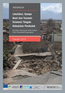
IDN_Factsheet_MSNA_HH_Displacement Status_Central Sulawesi_February 2019_ID
PDF1.4M
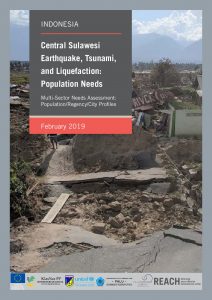
IDN_Factsheet_MSNA_HH Total Population_Central Sulawesi_February 2019_EN
PDF1.4M
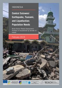
IDN_Factsheet_MSNA_Gender of Household Heads_Central Sulawesi_February 2019_EN
PDF1.2M
IDN_Factsheet_MSNA_HH Total Population_Central Sulawesi_February 2019_ID
PDF1.4M
IDN_Factsheet_MSNA_ Gender of Household Heads_Central Sulawesi_February 2019_ID
PDF926.4K
IDN_Factsheet_MSNA_Sub District Donggala Regency_February 2019_EN
PDF3.3M
IDN_Factsheet_MSNA_Sub District Donggala Regency_February 2019_ID
PDF3.2M

IDN_Factsheet_MSNA_Sub District Palu Regency_February 2019_EN
PDF2.5M
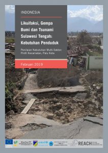
IDN_Factsheet_MSNA_Sub District Palu Regency_February 2019_ID
PDF2.5M