

REG2403 - Suivi de la situation humanitaire au Burkina Faso et au Mali - Protection - Décembre 2024
PDF1.6M
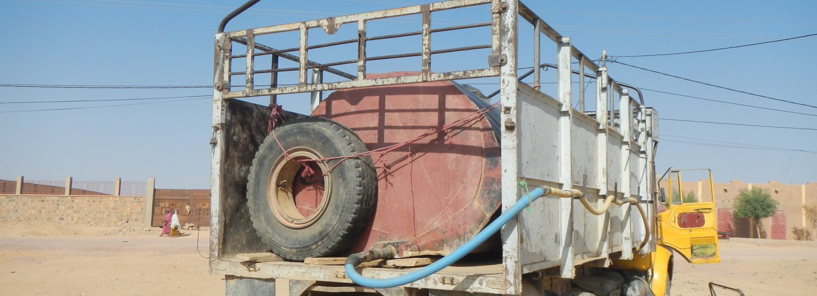
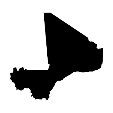
Since March 2012, political instability and internal armed conflict have aggravated Mali’s precarious humanitarian situation, characterised by mass displacement, latent food insecurity and malnutrition, coupled with unpredictable weather conditions and economic instability.
Within the framework of its partnership with the Global Shelter Cluster, IMPACT deployed a REACH team to Mali in November 2012 to provide shelter assessments and information management support to the active Clusters in the country. The objectives of the deployment were to understand and map displacement trends and assess the needs of internally displaced people.
Furthermore, REACH participated in the mapping of basic services in north Mali designed to facilitate decision-making by inter-sectorial and sectorial coordination bodies. Later in 2013, REACH was deployed on behalf of the Shelter Cluster to launch a rapid needs assessment in Timbuktu and Gao regions. The same year, REACH also conducted a floods analysis assessment using data from 2006 to 2013. The analysis succeeded in producing maps showing the frequency and impact of floods in different regions of Mali and providing valuable data for prevention and risk mitigation activities. The maps were used by the humanitarian community and the Government of Mali as a baseline to inform the flood contingency plan for 2014. One of the last information products produced by REACH was a WASH baseline report focusing on access to water for affected communities in Kidal, Timbuktu and Gao.
In 2019 REACH started working again in Mali providing information for humanitarian and aid actors on the situation in the central and northern parts of the country.
Une récente évaluation réalisée par REACH Initiative, une initiative d’IMPACT, met en lumière des défis sanitaires majeurs dans les régions de Ménaka et Kidal. L’accès limité aux infrastructures de santé...
Le rapport récemment publié sur la perception des besoins et le sentiment d’insécurité à Bandiagara et Ménaka offre des informations essentielles sur les besoins des populations affectées, en particulier...
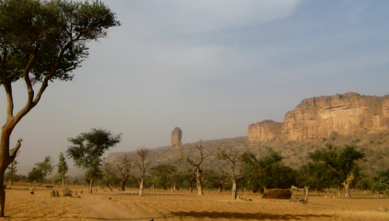
Le dernier rapport de REACH sur la situation à Ménaka met en lumière les défis importants auxquels font face les femmes enceintes et les jeunes mères. Les obstacles à l’accès...


REG2403 - Suivi de la situation humanitaire au Burkina Faso et au Mali - Protection - Décembre 2024
PDF1.6M

REACH BFA | HSM Nord, Centre-Nord, Est | Décembre 2024
PDF2.8M

REACH Mali I Perceptions and measurements of needs I Brief
PDF263.9K


REACH Mali I Perception et mesure des besoins I Grille de Saturation I Février 2025
XLSX120.1K

REACH Mali I Perception et mesure des besoins I Brief
PDF301.5K

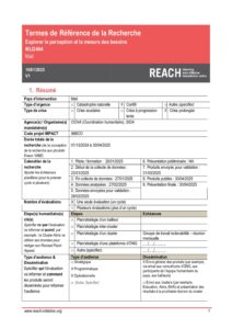
REACH Mali - Explorer la perception et la mesure des besoins - ToR (2024-12-01 2025-04-30)
PDF431.1K


REACH Mali Evaluation territoriale à Koro Factsheet sur le Marché (2024-11-07 – 2024-11-11)
PDF667.4K


REACH Mali MSNA Brief Genre
PDF607.2K


REACH Mali Evaluation des besoins à Bandiagara (2024-11-14 – 2024-11-21)
PDF3.1M


REACH Mali Evaluation des besoins à Koro (2024-11-06 – 2024-11-09)
PDF2.0M


REACH Mali Evaluation des besoins à Bankass (2024-10-31 – 2024-11-04)
PDF4.5M


REACH Mali Evaluation des besoins à Ansongo (2024-11-01 - 2024-11-06)
PDF2.3M


RRM & post-RRM I Aperçu trimestriel I T4 2024
PDF1.8M


REACH Mali - Explorer la perception et la mesure des besoins - DAP (2024-12-01 2025-04-30)
XLSX33.0K


REACH Mali MSNA 2024 - Bulletin
PDF959.9K


REACH HSM Sahel Mali I Situation Sanitaire à Kidal et Ménaka I Octobre 2024
PDF777.8K