Syrian Refugee Response in Kurdistan, Iraq
27 September 2013
Voices from the Field : Featured Map
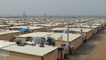
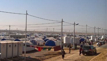
In August and September 2013 heavy fighting in north-eastern Syria provoked a sudden wave of people crossing the border into Kurdistan Region of Iraq. In order to respond to this influx, the Kurdistan Regional Government has been accommodating the refugees in numerous transitional sites while more permanent ones are under development. It has been a major challenge for all international aid actors to keep track of all those sites and refugees’ movements between them.
This map provides a quick overview of Kurdistan Region by indicating locations used as permanent and transitional sites, along with a short description of each of them As such, it not only provides a high-level picture of the situation, but also helps in daily activity planning and even program targeting. A more technical version meant for use by organisations logistics departments including driving times and checkpoints is currently being drafted.
The site location data for this map has been gathered by REACH Field Teams who collected precise GPS coordinates after learning about the site’s existence from UNHCR and other partners in the region. The sites descriptions are summaries of the data gathered via REACH Camp Baseline Surveys, whose findings are available in SitReps.
Click here to download the map as pdf.
To learn more about REACH in Iraq, please visit our country page.
About the map author : I am a geographer and GIS specialist working for the past six months with REACH to map various aspects of the current Syrian crisis. I focus on refugee camp mapping in Jordan and Iraq by providing information in a form that is easy to use.