
The May 2024 report, published by IMPACT through its REACH initiative, on internally displaced persons (IDP) sites in Marib Governorate provides a critical analysis of the increasing flood risks and their impacts on vulnerable populations. Utilizing advanced hydrological models, the flood hazard of 5 selected IDP sites – including the largest IDP site in Yemen – were analysed. This report is instrumental for guiding programmatic and operational actions, especially in the context of reduced funding and the worsening humanitarian crisis in Yemen.
Here are the key messages from our research findings:
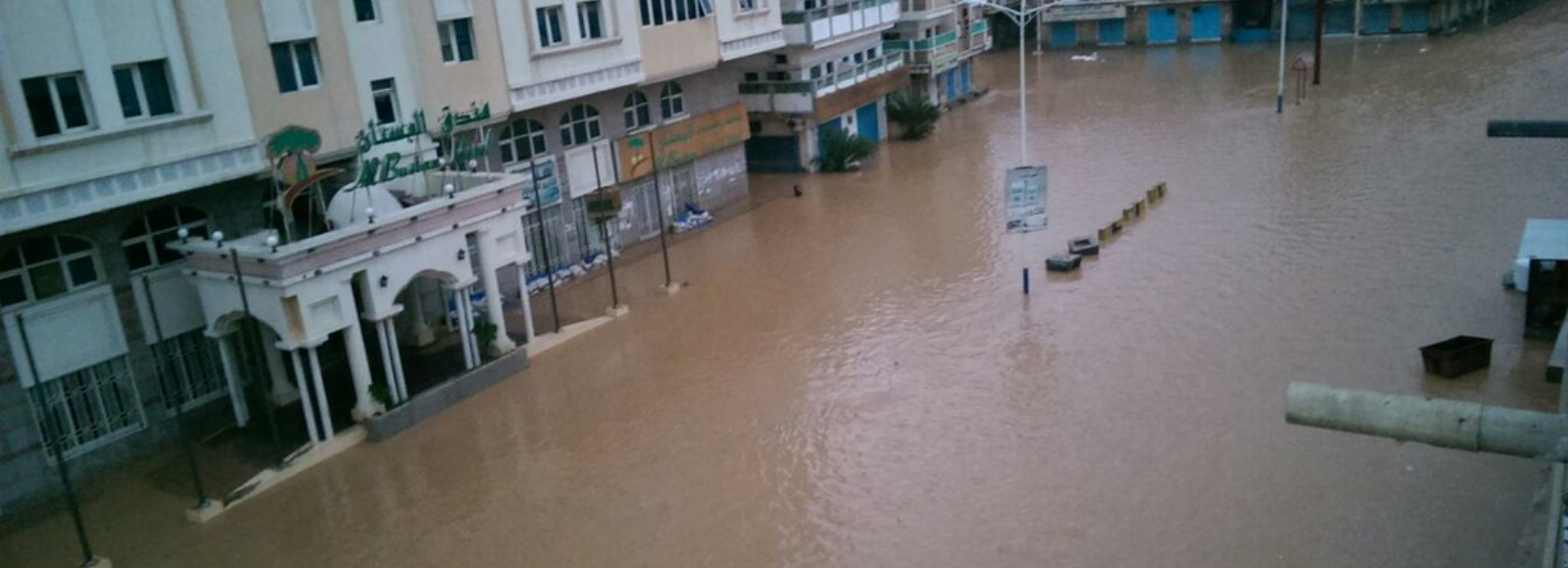
Flood Risks: The threat of floods in Marib Governorate is exacerbated by climate change and environmental degradation. These floods pose significant risks to the already vulnerable IDP populations.
Vulnerable IDP Sites: Using advanced hydrological models, the report analyses specific IDP sites that are at high risk of flooding. These sites require immediate attention to implement effective flood mitigation and preparedness measures.
Impact on Vulnerable Populations: The analysis included overlaying the flood hazard with the location of agricultural land, shelters, key infrastructure, and roads to better understand the impact of flooding events on the IDP site population.
With the reduction in funding and the worsening humanitarian crisis, there is an urgent need for coordinated humanitarian efforts to address the immediate and long-term needs of the affected populations. This flood hazard analysis is a vital tool for stakeholders, including humanitarian organizations, government agencies, and donors. It provides a comprehensive understanding of the flood risks in selected IDP sites.
Read the full report to understand the critical situation: Marib-Flood-Hazard-Analysis_Report_V2_2024_FINAL_2.pdf (impact-initiatives.org)