Bangladesh: REACH supports monsoon season emergency preparedness of Rohingya camps
24 October 2018
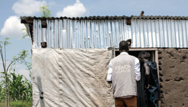
REACH shares the results of flood and landslide risk analysis of a camp in the Kutupalong area at an ISCG emergency preparedness task force meeting ©REACH/2018
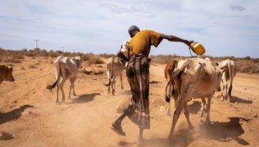
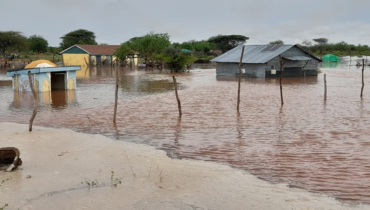
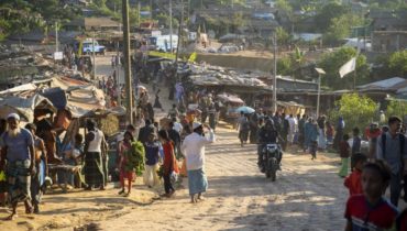
Eight months into the world’s fastest growing refugee crisis, humanitarian actors are confronted with a new challenge. The upcoming monsoon season is likely to bring floods, landslides and cyclones to the densely populated Rohingya camps in Bangladesh, putting an estimated 800,000 people at risk.
In this context, REACH in close collaboration with the Intersector Coordination Group, UNHCR and IOM, is conducting risk mapping for all Rohingya camps and sites. Building on REACH/UNICEF infrastructure mapping, which provides monthly updated data on all key infrastructure such as latrines, boreholes, health service providers and temporary learning centres available in camps, REACH mapped critical infrastructure in flood and landslide risk areas. By compiling analysis from UNHCR, the Asian Disaster Preparedness Centre and REACH, it was possible to fill a critical information gap identifying which infrastructure will likely be affected by floods and landslides.
The flood and landslide analysis show that due to the rapid expansion of Rohingya camps in Bangladesh, key infrastructure which provides critical services to refugees is at risk during the monsoon season. The population density of the camps coupled with extensive deforestation of hilly terrain to accommodate more than 800,000 refugees means vulnerable conflict affected individuals are likely to face new challenges in accessing shelters and basic services once rains start in April/May 2018: boreholes and latrines inundation might lead to contamination of water sources and landslides are likely to displace refugees for a second time. To plan for these new risks humanitarian actors and camp planners can use these risk maps to decommission infrastructure and identify suitable community shelters in case of high winds.
Aid actors have a small window to prepare for the upcoming rainy season. By using the geospatial analysis results from REACH they will be able to quickly identify service points and geographies at risk to plan for relocation, and reinforcing of infrastructure before heavy rains hits in June and July.
Find more information on our work in Bangladesh here.