
Wildfires: a growing risk in Ukraine
As the war’s escalation in Ukraine enters its fifth year, its multi-layered consequences continue to exacerbate climate-related challenges in the country. This is starkly illustrated by the growing scale and severity of wildfires in recent years. In 2024 alone, over one million hectares burned. By comparison, less than half a million hectares across all EU countries were affected during the same period.
| The recurrence of wildfires is exacerbated by the fact that Ukraine is warming faster than the global average. Recent summers have increasingly been characterized by hotter temperatures and lower rainfall over extended periods. These conditions, combined with ongoing hostilities, have led to thousands of fires breaking out each year. With the interaction between natural and man-made hazards intensifying in the context of the war, it is critical that communities are equipped with the necessary information and tools to make informed, evidence-based decisions about disaster preparedness, mitigation, and response. This includes leveraging open data, geo-spatial information, and satellite imagery to understand, monitor, and forecast risks associated with hazards such as wildfires. | 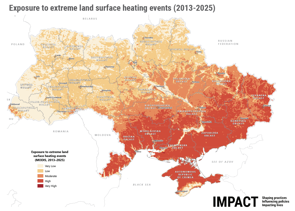 |
Empowering local actors through data
This is why the European Union funds the Strengthening disaster preparedness and early response capacities of Local Actors (SYLA) project, implemented by a consortium of organizations (Ukrainian Red Cross, Acted, IMPACT Initiatives, German Red Cross, and Danish Red Cross).
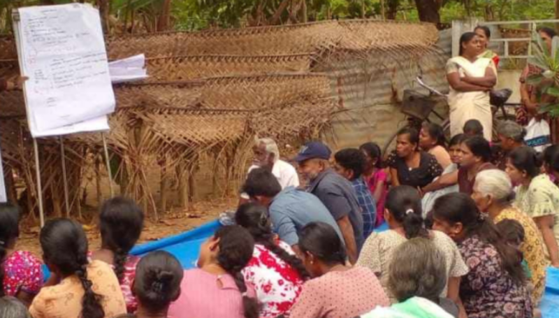
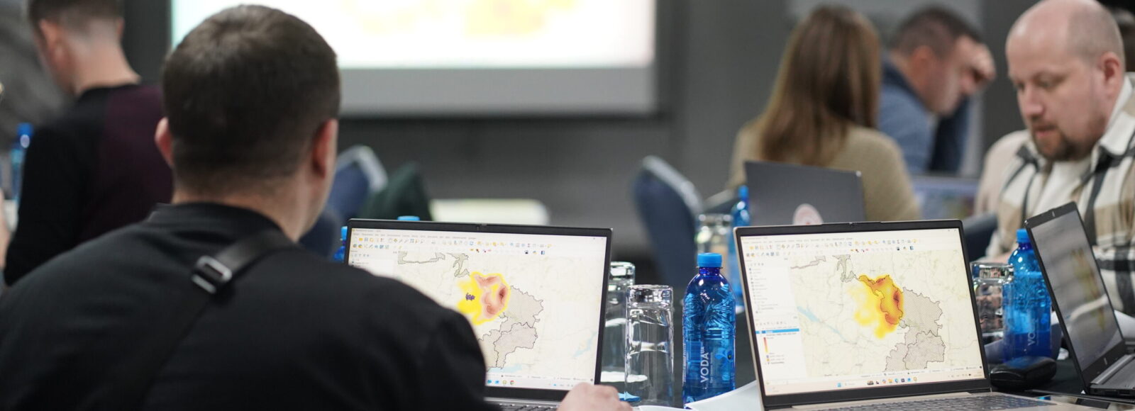
| As part of a broader package of tailored assistance, IMPACT recently delivered a series of capacity-building training sessions titled “Fires: From data to analysis and forecasting” in Mykolaiv, Zaporizhia, Kharkiv, and Kyiv. Highlighting the increasing challenge posed by wildfires, the training topic was explicitly identified as high priority by local-level project stakeholders. Almost 70 representatives of civil protection departments, volunteer fire brigades, and local branches of the State Emergency Service Units (SESU) from 18 frontline hromadas (communities), as well as Ukrainian Red Cross staff, have been trained.
| 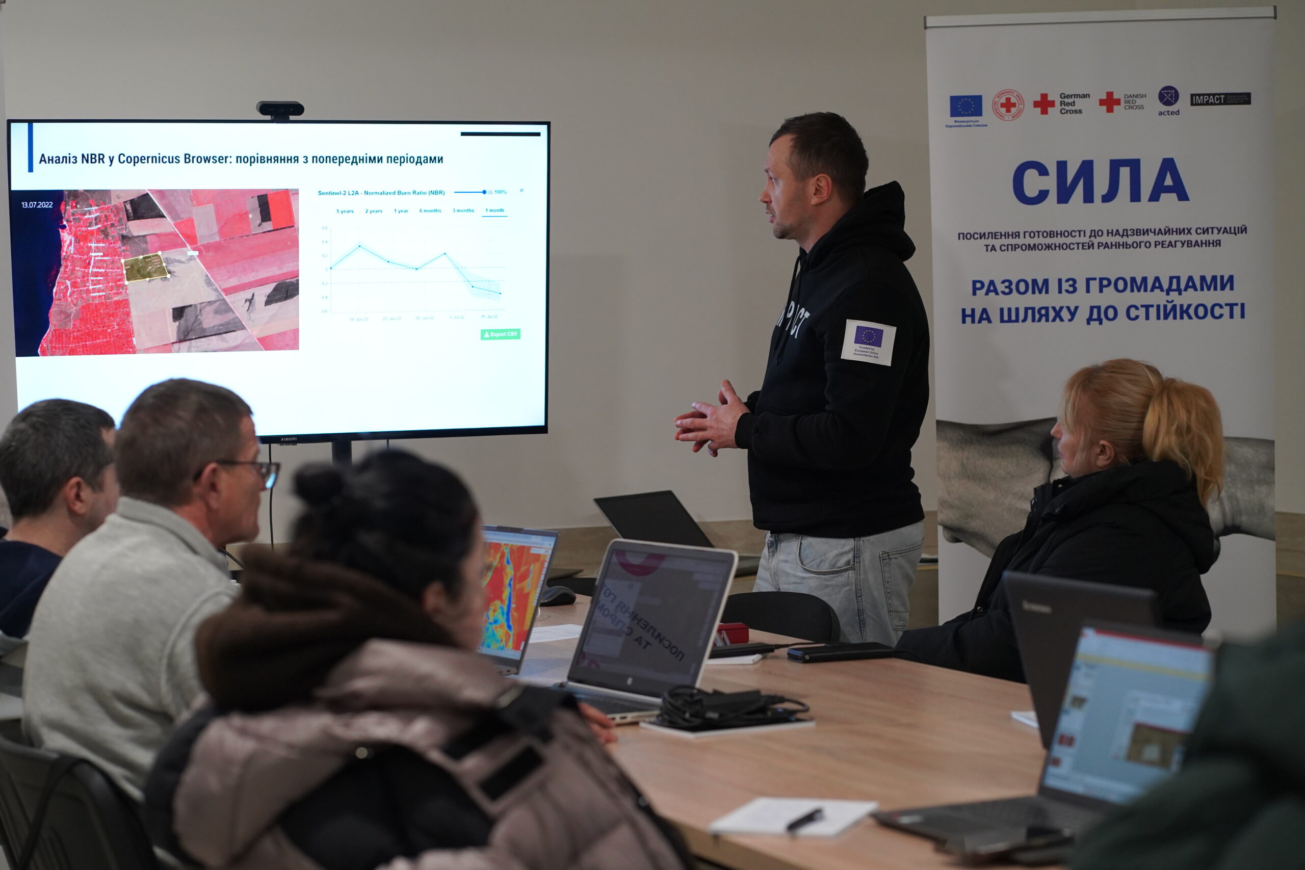 |
Participants were guided step by step into the world of open fire data—where to find it, how to make sense of it, and how to turn raw numbers into clear maps and seasonal fire trends. They also explored how monitoring systems are set up on the ground and learned to read satellite imagery.
| “The training was very useful for the specialists of our community. It not only allowed them to gain knowledge on the possibilities of using GIS technologies for analyzing, mapping and forecasting fires, but also to gain concrete skills in the implementation of specific tasks. The in-person format allowed me to receive answers and advice from experts on the possibilities and potential of using GIS systems for analyzing hazards and forecasting risks in various areas of our community.” – Hromada representative who attended the training said.
|
By conducting these trainings under the SYLA project, IMPACT helps ensure that frontline communities have the skills they need to develop practical plans and strategies to prepare for potential risks: from fires triggered by ongoing hostilities to the growing hazards driven by climate change. Strengthening these capacities at the community level not only supports immediate preparedness but also reinforces the resilience of people who continue to withstand immense challenges.
 | Funded by the European Union. Views and opinions expressed are, however, those of the author(s) only and do not necessarily reflect those of the European Union or DG ECHO. Neither the European Union nor the granting authority can be held responsible for them. |