


Mombasa Market Monitoring, Mombasa informal settlements - October 2020
PDF1.4M
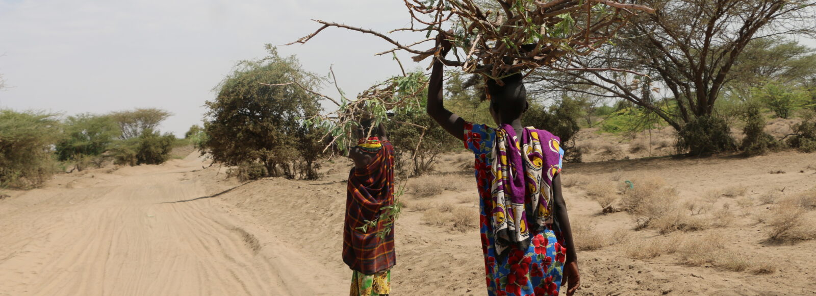
Kenya is increasingly exposed to both extreme climate events and slow-onset processes such as recurrent droughts, flooding, and environmental degradation, contributing to displacement, infrastructure damage, and rising food insecurity disproportionally affecting Arid and Semi-Arid Lands. Kenya is also hosting a large population of refugees and asylum seekers (over 840,000 as of March 2026) seeking refuge from conflicts in neighbouring countries. From early 2025, unprecedented funding cuts have deeply affected refugees’ access to assistance and services, just ahead of the planned transition from a camp-based to an integrated settlement approach under the Shikira Plan.
IMPACT began working in Kenya in 2016 through its initiative REACH to monitor needs in vulnerable populations with a focus on refugee camps and ASAL Counties. Ten years later, IMPACT conducts the yearly Multi Sectoral Needs Assessment to provide humanitarian actors with a deep understanding of needs and access to services in parallel of running the Joint Market Monitoring Initiative (JMMI) to guide cash assistance.
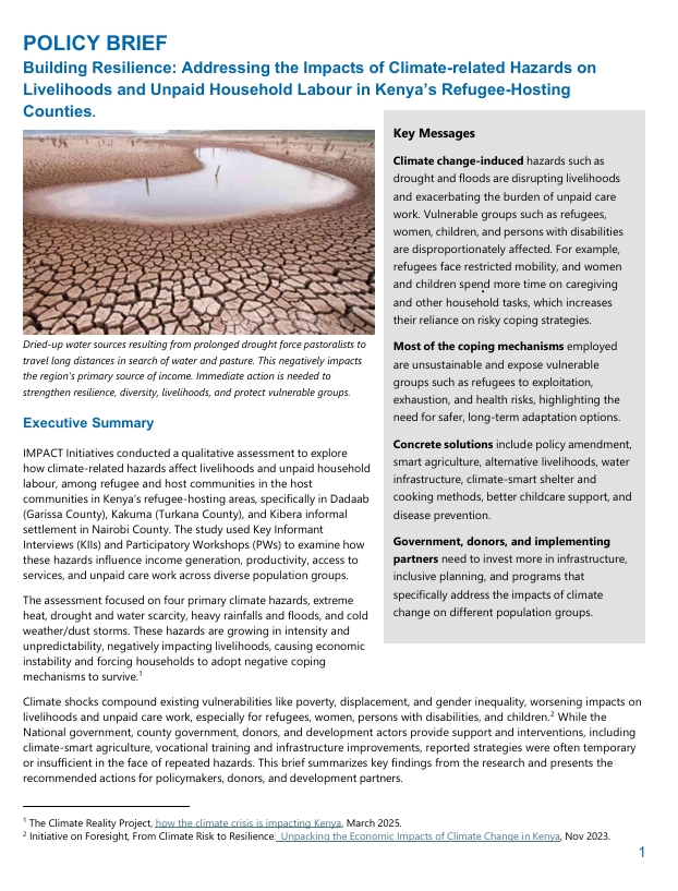
| Building Resilience: Addressing the Impacts of Climate-related Hazards on Livelihoods and Unpaid Household Labour in Kenya’s Refugee-Hosting Counties November 2025 Climate change is increasingly driving households in Kenya’s refugee-hosting areas, particularly Kakuma, Dadaab, and Kibera, toward harmful coping strategies that threaten their livelihoods, health, and general well-being. Based on evidence from recent assessments that highlight how extreme heat, droughts, floods, and other climate-related hazards have intensified vulnerabilities for both refugee and host communities.
|  |
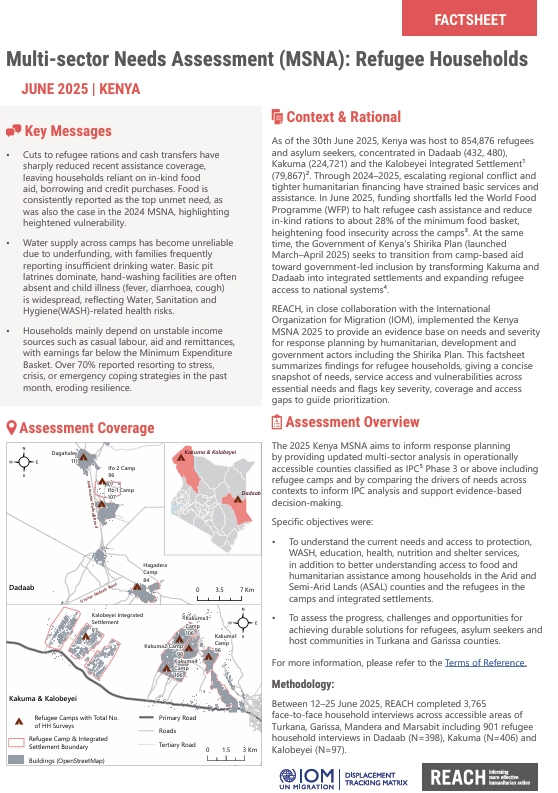
| Multi-Sectoral Needs Assessment (MSNA): Refugee Households June 2025
|  | |
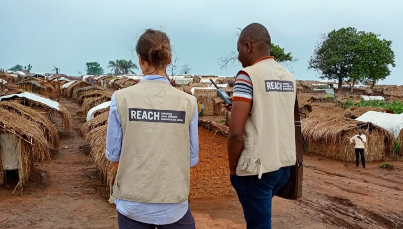
In Garissa, Mandera, Marsabit, and Turkana counties, 99% of refugee households and 91% of host and affected populations reported at least one unmet need. The share of refugee households facing...
Our latest Joint Market Monitoring Initiative (JMMI) offers crucial insights into market trends and challenges in Kenya’s arid and semi-arid land (ASAL) counties for the first quarter of 2024. This...
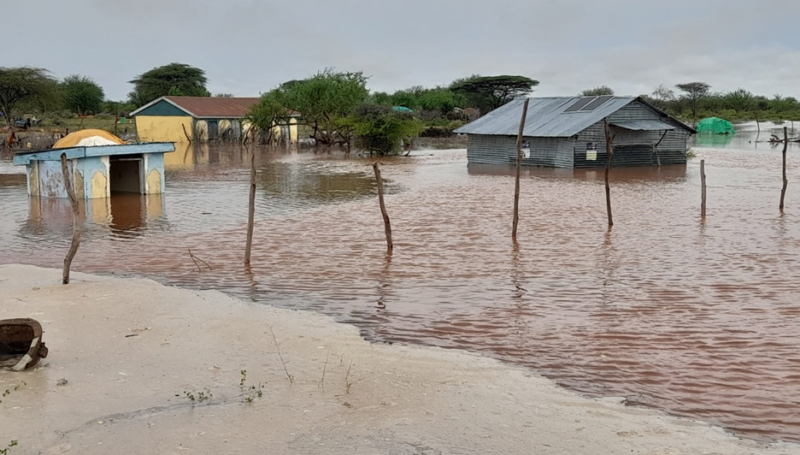
Climate shocks in Kenya continue to be felt through more than a decade of drought and, from October 2023 to January 2024, the country also saw El Niño related flooding....
Mombasa Market Monitoring, Mombasa informal settlements - October 2020
PDF1.4M
REACH KEN TOR Dadaab and Kakuma JMSNA September 2020
PDF356.8K
Market Monitoring in locust-affected ASAL Counties, Kenya - September 2020
PDF1.0M
Impact of desert locust on livestock migration routes in arid and semi-arid land (ASAL) counties of Kenya factsheet - September 2020
PDF18.2M
Kenya Cash Consortium Market Monitoring in Nairobi Informal Settlements, September 2020
PDF2.4M
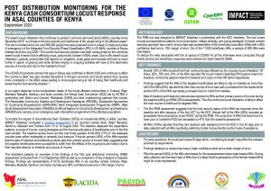
Cash consortium locust response in arid and semi arid lands (ASAL) counties post-distribution monitoring (PDM) factsheet, Kenya – September 2020
PDF653.5K
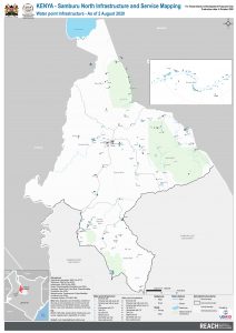
REACH KEN MAP SamburuNorth Infrastructure and service mapping water August2020 A1
PDF1.5M
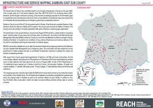
Infrastructure and service mapping in Samburu East Sub County, Kenya - August 2020 situation overview
PDF1.0M
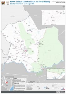
REACH KEN MAP SamburuEast Infrastructure and service mapping education August2020 A1
PDF1.7M
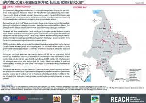
Infrastructure and service mapping in Samburu North Sub County, Kenya - August 2020 situation overview
PDF913.3K
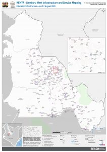
REACH KEN MAP SamburuWest Infrastructure and service mapping education August2020 A1
PDF1.1M
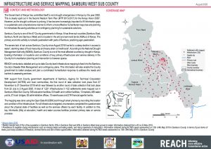
Infrastructure and service mapping in Samburu West Sub County, Kenya - August 2020 situation overview
PDF925.9K
REACH_KEN_Terms of Reference_Market Monitoring in ASAL Counties of Kenya_August 2020
PDF407.9K
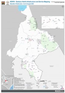
REACH KEN MAP SamburuNorth Infrastructure and service mapping education August2020 A1
PDF1.3M
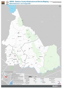
REACH KEN MAP SamburuCounty Infrastructure and service mapping markets August2020 A1
PDF2.0M
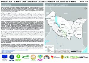
Cash consortium locust response in arid and semi arid lands (ASAL) counties baseline factsheet, Kenya - August 2020
PDF1.6M