


NER_Map_Diffa_Kakarawa_Infrastructures_29Mai2015_A3_Fr_v1
PDF1.2M
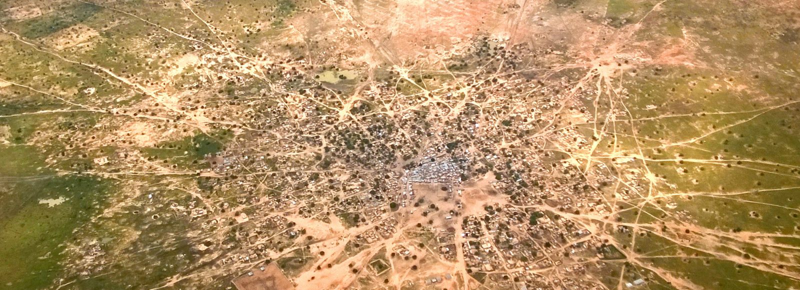
Since 2012, Niger has been characterized by several – at times overlapping – crises. Structurally underdeveloped with the world’s highest birth rate per woman, the country has been heavily impacted by conflict and population displacement on its borders with Mali, Burkina Faso, Nigeria, and Chad.
The combination of instability and structural barriers has strained an already fragile humanitarian situation, and the country remains prone to severe food crises resulting in food insecurity and malnutrition. Moreover, at the frontline of climate change, Niger has also been facing frequent heavy rainfall and flooding, provoking massive displacements in several areas of the country and impacting farming production.
In addition to natural hazards, the rapid demographic growth coupled with increased land silting in the southern part of Niger has increased conflicts around land access between herders and farmers, especially in southern Niger.
IMPACT was first deployed to Niger in 2012 when worsening violence in the north of Mali led Malian refugees and Nigerien IDPs to flee to the Tillaberi region in western Niger. Through its REACH initiative and in close cooperation with UNHCR, IMPACT launched mapping programs in the three camps hosting displaced populations. Subsequently, REACH operations expanded to the south-eastern Diffa region. In addition, REACH has conducted assessments on migrants transiting through Niger towards North Africa and Europe. IMPACT has also played a key role in the Rapid Response Mechanism (RRM) consortium in Niger by providing Information Management Support. IMPACT has also built sectoral expertise (CVA, WASH, Food Security, AAP and protection), through thematic assessments, in collaboration with key humanitarian partners.
Activities:
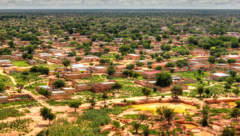
Les régions de Tillabéri et de Tahoua au Niger, situées dans la zone des trois frontières entre le Burkina Faso, le Niger et le Mali, sont gravement touchées par une...
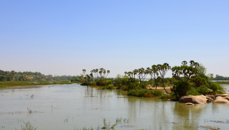
En décembre 2023, REACH a publié une fiche d’information complète éclairant le paysage humanitaire au Niger, en se concentrant particulièrement sur la redevabilité envers les populations affectées dans le but...
IMPACT Initiatives, notably via its REACH, AGORA, and PANDA initiatives, is increasingly committing research efforts to inform the aid community on how to tackle climate risk. The objective? To identify...
NER_Map_Diffa_Kakarawa_Infrastructures_29Mai2015_A3_Fr_v1
PDF1.2M
NER_Map_Diffa_GadoriPeul_Infrastructures_29Mai2015_A3_Fr_v1
PDF1.2M
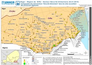
NER_Map_Diffa_6W_SécuritéAlimentaire_EncoursetRéalisées_21Mai2015_A3_Fr_v1
PDF2.0M
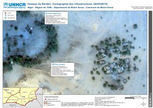
NER_Map_Diffa_Badéri_Infrastructures_29Mai2015_A3_Fr_v1
PDF1.1M

NER_Map_Diffa_6W_Nutrition_EncoursetRéalisées_21Mai2015_A3_Fr_v1
PDF1.5M
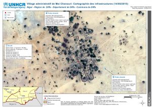
NER_Map_Diffa_MaiChanouri_Infrastructures_29Mai2015_A3_Fr_v1
PDF1.2M
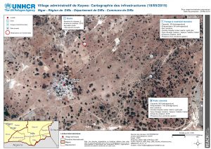
NER_Map_Diffa_Kaywa_Infrastructures_29Mai2015_A3_Fr_v1
PDF1.4M
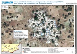
NER_Map_Diffa_Dalaourou_Infrastructures_29Mai2015_A3_Fr_v1
PDF1.2M
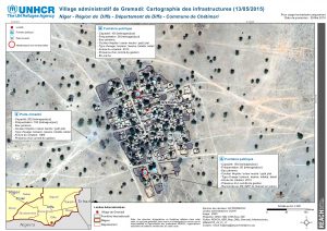
NER_Map_Diffa_Gremadi_Infrastructures_29Mai2015_A3_Fr_v1
PDF1.3M
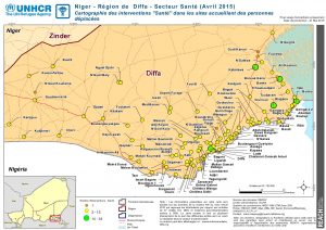
NER_Map_Diffa_6W_Santé_EncoursetRéalisées_21Mai2015_A3_Fr_v1
PDF1.7M
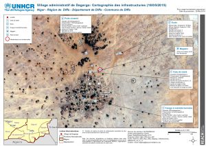
NER_Map_Diffa_Dagargo_Infrastructures_29Mai2015_A3_Fr_v1
PDF1.3M
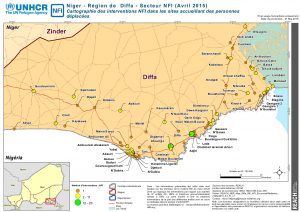
NER_Map_Diffa_6W_NFI_EncoursetRéalisées_21Mai2015_A3_Fr_v1
PDF1.5M
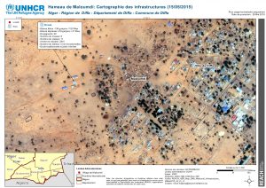
NER_Map_Diffa_Maloumdi_Infrastructures_29Mai2015_A3_Fr_v1
PDF1.4M
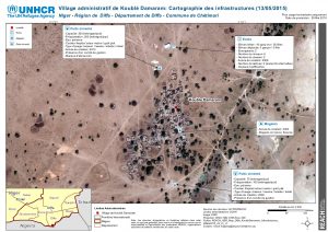
NER_Map_Diffa_KoubléDamaram_Infrastructures_29Mai2015_A3_Fr_v1
PDF1.2M
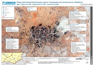
NER_Map_Diffa_BoulangouYeskou_Infrastructures_29Mai2015_A3_Fr_v1
PDF1.3M
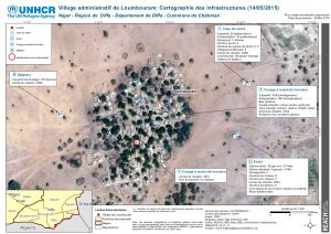
NER_Map_Diffa_Loumbouram_Infrastructures_29Mai2015_A3_Fr_v1
PDF1.2M