


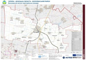
AGORA UKR Map REF Volnovakha HromadaOverview 16JULY2021 A0
PDF8.2M

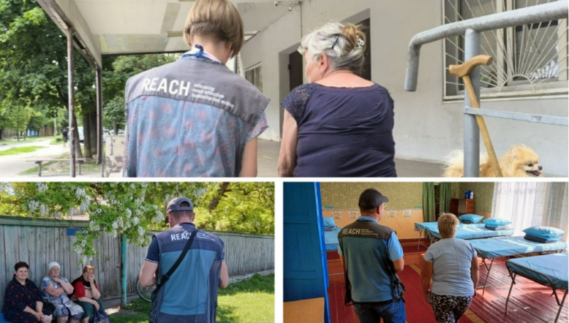
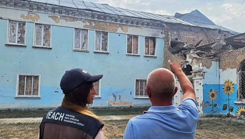
As conflict in Ukraine continues, the gravity of the humanitarian situation is clear. People in areas directly affected by conflict are in immediate need of life-saving support, lacking food, energy, utilities, and facing a breakdown in the provision of basic services. They also face the risk of environmental disasters because of proximity to hazardous infrastructure (such as energy producing facilities and transit infrastructure), a risk that extends well beyond conflict-affected areas. As of 14 March 2022, more than 2.7 million people are estimated to have fled Ukraine and many more are internally displaced, including an estimated one million children. The vast majority of the displaced are women, girls and boys. Some will be staying in neighbouring countries, many more are likely to continue their journey onwards to Western Europe and elsewhere.
You will find the most recent research outputs related to the situation of IDPs in Central and Western Ukraine, to the impact of the conflict on the living conditions in Ukraine, to the refugee humanitarian situation in neighbouring countries and to migration trends from Ukraine here.
Three years into the full-scale invasion of Ukraine, a stark divide in livelihood needs has emerged between rural and urban households. The latest Multi-Sector Needs Assessment (MSNA) story map reveals...
On 24 February 2025, three years into the full-scale invasion, Ukraine continues to face high levels of persistent humanitarian need, and disruptions to essential services linked to ongoing attacks on...

As temperatures drop, millions of Ukrainians are at heightened risk due to ongoing conflict, damaged infrastructure, and severe resource gaps. Ensuring access to heating, cold and hot water, and essential...
AGORA UKR Map REF Volnovakha HromadaOverview 16JULY2021 A0
PDF8.2M
Ukraine Terms of Reference MSNA GCA July 2021
PDF601.1K
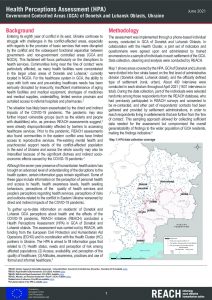
Factsheet of the health perceptions assessment (HPA) in government-controlled areas (GCA) of Donetsk and Luhansk Oblasts, Ukraine - June 2021
PDF794.3K
IMPACT UKR Map REF Donetska OverviewMap 01JUNE2021 A0 UA
PDF16.4M

Ukraine Economic Participation Assessment (EPA) Questionnaire June 2021
XLSX79.6K
AGORA UKR Map REF Donetska OverviewMap 01JUNE2021 A0 UA
PDF16.1M
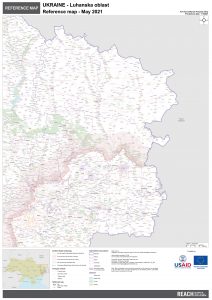
REACH UKR Map REF Luhanska OverviewMap 01JUNE2021 A0 UA
PDF12.8M
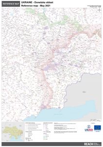
REACH UKR Map REF Donetska OverviewMap 01JUNE2021 A0 UA
PDF16.2M

PANDA UKR Map REF Donetska OverviewMap 01JUNE2021 A0 UA
PDF16.2M
IMPACT TOR Ukraine ABRA Mariupol (June 2021)
PDF645.9K
REACH UKR Map REF Luhanska OverviewMap 31MAY2021 A0 EN
PDF11.7M
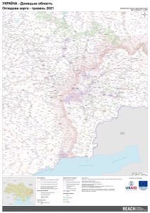
REACH UKR Map REF Donetska OverviewMap 31MAY2021 A0 EN
PDF14.8M
2020 Multi-Sector Needs Assessment in Government-Controlled Areas of Donetsk and Luhansk Oblasts within 20 km of the Line of Contact
PDF2.8M
Health Perception Assessment Dataset, April 2021
XLSX1.6M
IMPACT UKR Map REF Donetska OverviewMap 31MAY2021 A0 EN
PDF15.0M
IMPACT UKR Map REF Luhanska OverviewMap 31MAY2021 A0 EN
PDF11.8M