


REACH UKR Map REF Poltavska oblast Overview Map vertical 11 MARCH 2026 A0 EN
PDF41.1M

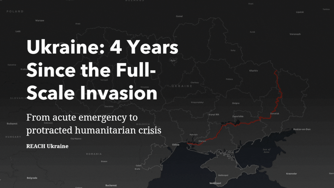
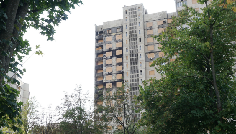
24 February 2026 marks four years since Russia’s full‑scale invasion of Ukraine. During this time, the war has continued to evolve, with active hostilities remaining concentrated along 0-50 km from the front line, where nearly 90% of strikes and over half of civilian casualties occur. At the same time, intensified missile and drone attacks reach far beyond these areas, affecting communities across every region of the country and repeatedly damaging homes, schools, hospitals, and energy infrastructure. As a result, the crisis now encompasses both acute emergency needs in the frontline areas and protracted, multi‑sectoral needs in areas farther from the fighting, driven by nationwide disruptions, structural vulnerabilities, and long-term recovery challenges.
According to the 2026 Humanitarian Needs and Response Plan, more than 10.6 million people are in need of humanitarian assistance across Ukraine. Civilian casualties have continued to rise, with civilian harm increasing by 27% between January and October 2025 compared to the same period in 2024, reflecting the expanding geographic reach and intensity of strikes. Recurrent attacks on energy infrastructure have also resulted in large‑scale winter outages, affecting hundreds of thousands of people at a time and significantly increasing protection and health risks.
➞ Access Ukraine’s analytical overview of humanitarian needs 4 years since the start of full-scale invasion here
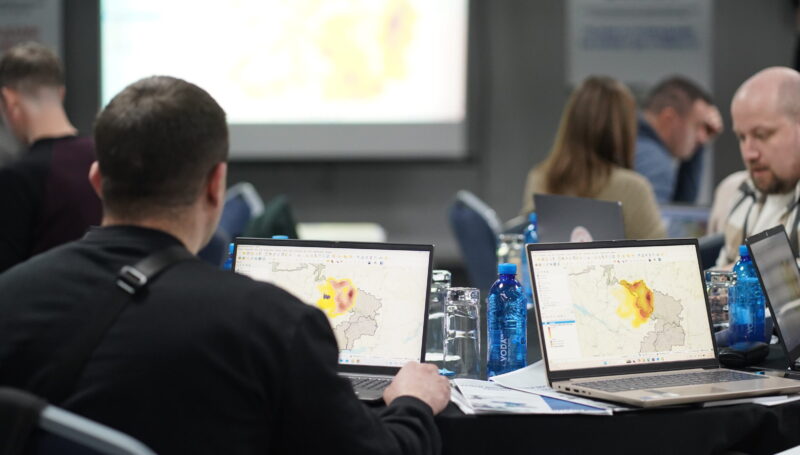
IMPACT Initiatives has been working in Ukraine since 2015 to provide accurate, timely, and actionable data to inform the humanitarian, stabilization, and recovery response. Following the Russia’s full-scale invasion in 2022, we scaled up our operations to cover the entire country with ongoing humanitarian needs monitoring, frequent updates on the situation in volatile frontline areas, monitoring the impact of damage to infrastructure and housing using AI, and tracking of the needs and intentions of displaced populations. Considering the dynamic context in Ukraine, IMPACT has also expanded its portfolio to inform early recovery and stabilization efforts. This has included mapping services and support to vulnerable populations such as children and veterans, policy research on durable solutions for refugees and internally displaced persons, and cross-cutting analysis on the gendered impacts of the war.
Wildfires: a growing risk in Ukraine As the war’s escalation in Ukraine enters its fifth year, its multi-layered consequences continue to exacerbate climate-related challenges in the country. This is starkly...
24 February 2026 marks four years since Russia’s full-scale invasion of Ukraine. Alongside active hostilities in frontline areas, intensified missile and drone strikes continue to affect communities across all regions...
Ukraine has faced serious power outages caused by hostile actions since before Russia’s full-scale invasion in 2022. Since a wave of renewed air strikes affecting energy infrastructure in October, November...
REACH UKR Map REF Poltavska oblast Overview Map vertical 11 MARCH 2026 A0 EN
PDF41.1M
REACH UKR Map REF Dnipropetrovska oblast Overview Map horizontal 11 MARCH 2026 A0 EN
PDF37.0M

REACH Ukraine Calibration 2026 – Dataset (March 2026)
XLSX12.6M
REACH UKR Map REF Ternopilska oblast Overview Map vertical 11 MARCH 2026 A0 EN
PDF37.5M
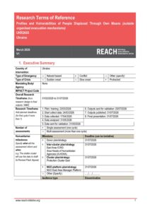
IMPACT Ukraine, Profiles and Vulnerabilities of People Displaced Through Own Means,Terms of Reference, March 2026
PDF461.2K

REACH UKR Map REF Kharkivska oblast Overview Map vertical 11 MARCH 2026 A0 EN
PDF39.4M
REACH UKR Map REF Volynska oblast Overview Map horizontal 11 MARCH 2026 A0 EN
PDF36.8M
REACH UKR Map REF Sumska oblast Overview Map vertical 11 MARCH 2026 A0 EN
PDF35.5M
REACH UKR Map REF Zaporizka oblast Overview Map horizontal 11 MARCH 2026 A0 EN
PDF31.3M
REACH Ukraine Calibration 2026 – Frequency Tables – Frontline oblasts (March 2026)
XLSX2.8M
REACH UKR Map REF Ivano-Frankivska oblast Overview Map vertical 11 MARCH 2026 A0 EN
PDF38.3M
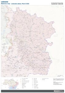
REACH UKR Map REF Luhanska oblast Overview Map vertical 11 MARCH 2026 A0 EN
PDF32.6M
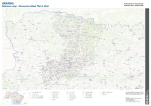
REACH UKR Map REF Rivnenska oblast Overview Map horizontal 11 MARCH 2026 A0 EN
PDF38.2M
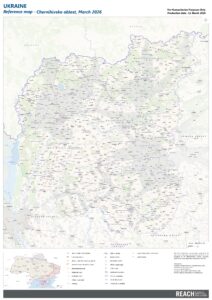
REACH UKR Map REF Chernihivska oblast Overview Map vertical 11 MARCH 2026 A0 EN
PDF36.4M
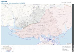
REACH UKR Map REF Khersonska oblast Overview Map horizontal 11 MARCH 2026 A0 EN
PDF28.2M
REACH Ukraine Calibration 2026 – Frequency Tables – Strata (March 2026)
XLSX4.4M